Woodcut - Sydney Cove 1790
All the articles collected in this post were spawned by a chance reading of an old Gininderra Church meeting report from 1880, and a few idle hours. At the end of that reported church meeting the following, almost casual mention, intrigued me:
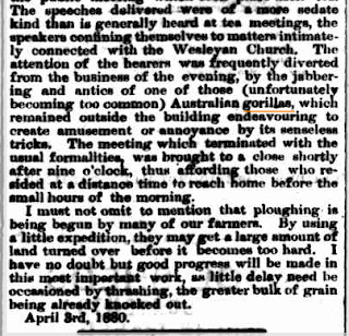
"The attention of the hearers was frequently diverted from the business of the evening, by the jabbering antics of one of those (unfortunately becoming too common) Australian gorillas, which remained outside the building endeavouring to create amusement or annoyance by its senseless tricks."
Australian gorillas really? Around Canberra?
Queanbeyan Age - Wednesday 7 April 1880
(it was a long town meeting type article) This is the snippet of the closing comments.
National Library of Australia
How did they know what a gorilla was? I actually didn't think the African Gorilla had even been discovered in 1880, a quick search discovered, "The discovery of the Mountain Gorilla took place in the Virunga Mountains, on October 17th, 1902, by Robert von Beringe." He shot two. The Western gorilla (Gorilla gorilla) gets far less attention I found and was discovered before this but I can't seem to find a date. 20 years previously? Must have.
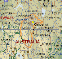
I started 'Troving' around our region to try and find out how 'common' these Australian gorillas really were but the term didn't seem very common around here at all. There are quite a few reports in other areas of NSW but I was interested in around Canberra.
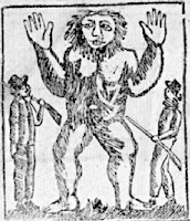
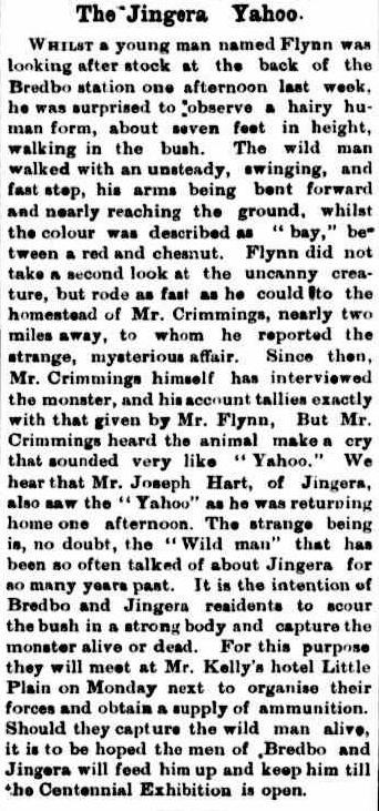
Now I took a huge leap here... I did find the next local article from 6 years later that describes an animal perhaps similar to a gorilla, by way of a large "hairy human form". "Arms bent forward and nearly touching the ground" (Later articles return to describing an ape or gorilla).
This animal was apparently running around the back of Bredbo NSW, just south of Canberra in the 1880's so I thought this report could describe one...
Queanbeyan Age - Tuesday 24 August 1886
National Library of Australia
Obviously the local residents were taking this thing very seriously. I couldn't find any reports of their success in capturing the 'wild man' dead or alive after that report and I don't think I'll bother to try and discover if one was shown at the Centennial Exhibition or not.
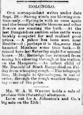
The locals seem to be calling this animal a 'yahoo' now. Under a heading of Molonglo the following year were two more references of sightings. One near Braidwood to our East and Michelago just to the ACT's South...
Queanbeyan Age - Saturday 1 October 1887
National Library of Australia
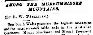
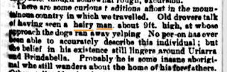
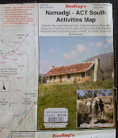
Onward to a reference of 'old drovers' having seen a 9 foot tall 'hairy man' in the area of mountains and long plain (Long Plain Road area today) bordering the western border of the ACT. Shortest access from Canberra is through
Piccadilly Circus at the top of Brindabella Road. Turn left. It's a lovely area dotted with high country huts..
.
The Sydney Morning Herald - Friday 20 February 1891
Again for brevity a snippet of the full article
National Library of Australia
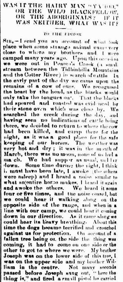
So Uriarra and Brindabella are added to the list. Our Australian gorilla or hairy man or yahoo was here, south and west of us, and as with the next article apparently also at Pearce's Creek between Tidbinbilla Mountain and the Cotter River a decade later as well. I thought it interesting in the following article that they stumbled over the title of Hairy man, Yahoo or Wild Blackfellow. (I note its getting confusing with names by this point).
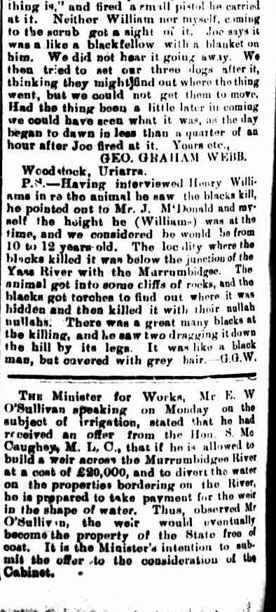
It is also now past the turn of the new century, the City of Canberra is just around the corner. The following article tells quite a tale. The Webb brothers (Canberra Pioneers) engage the animal and it involves a gunshot but no body...
Queanbeyan Age - Friday 7 August 1903
National Library of Australia
All old tales I suppose but what I found more interesting than the Webb brothers encounter was the p.s at the end where there seems to be a record of the Aboriginals on the Yass River having killed one.
"The locality where the blacks killed it was below the Junction of the Yass River with the Murrumbidgee. The animal got into some cliffs of rocks, and the blacks got torches to find out where it was hidden and then killed it with their nullah nullahs.
There were a great many blacks at the killing, and he saw two dragging it down the hill by its legs. It was like a black man, but covered with grey hair, G.G.W."
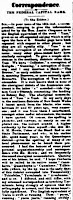
Nine years later an "immense ape like animal" was also well known to the east of Canberra in the South Coast Coastal Mountains. Around Bombala...
The Sydney Morning Herald - Wednesday 16 October 1912
National Library of Australia
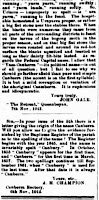
Same year but a reference to another hairy creature this time on the Snowy River. It describes the 'creature like a gorilla' and as carrying a nullah nullah as well...
Zeehan and Dundas Herald (Hobart), Friday 22 November 1912
National Library of Australia
I'll end this post with something I think is appropriate. An Aboriginal friend and artist from the South Coast (Mogo) has told me hairy man stories before from the region. He also mentioned that they were brought up as children to fear them so I found the following report from 1935 interesting. Apart from the racist language in our national papers of the era the report is suggesting there may be "a kind of gorilla" around Nowra and Twofold Bay...
The Sydney Morning Herald - Saturday 8 June 1935
National Library of Australia
I'm giving up there...
The search engine at the National Library can be a lot of fun if you delve in for an hour or so. I am sure I could find more 'gorilla/ape/man like' mentions if I punched in the appropriate keywords but I got the feeling that they took an Australian ape very seriously at times in the day. Even if they struggled locally with what to call it.
I found the Yass Aboriginals hunting experience quite fascinating and its just a foot note. The Aboriginal name out of all those reported though seems most appropriate for the mysterious animal. 'Douligah'. It would of course be a phonetic spelling.
Drop me an email if you have seen an Australian gorilla around the place.
-
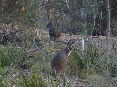
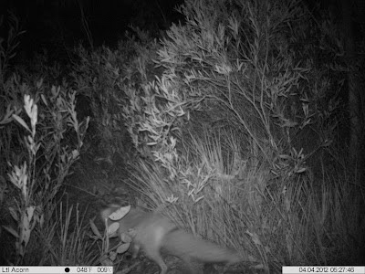
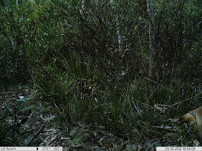
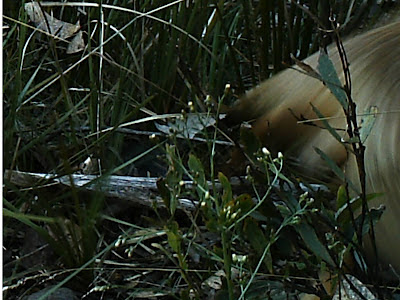
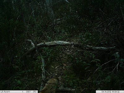
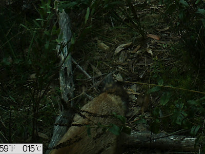
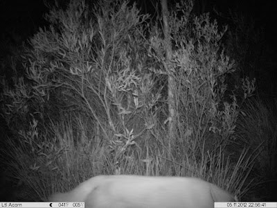
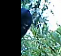
 Further north in Namadgi I seemed to be catching a lot of feral animal activity... out of any 5-9 day setting I would invariably capture a fox, dog or pig. South near Shanahan's Mountain though nothing more feral than a rabbit has showed its ears.

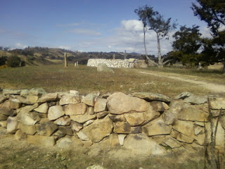
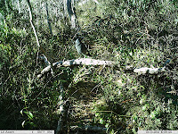
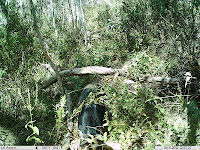
 It's now all very exciting though. The heritage issues have been resolved... a plan formulated and contractors secured which was no easy task because this is a unique, one-of-a-kind project. It will be an interesting addition to the companies resume that's for sure.
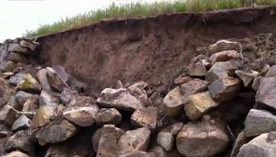
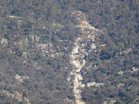
 The site sits directly overlooking the Gudgenby Murrumbidgee convergence. The main fallen section is the tallest section at several metres and it abuts to the downhill slope towards the Gudgenby. Because of this work platforms will need to be constructed below the wall as a base for workers. It actually leaves me pondering just how hard of work it must have been for the settlers without any of today's technology.


 Before I continue with that I saw something this week that I thought was well worth a mention... Its not everyday you go up to Booroomba Rocks and discover a brand new species but that's what Stuart Harris of Canberra recently did.