This is a collection of maps of the Australian Capital Territory
(click the image to enlarge)
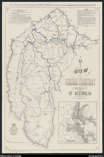
The new Federal Territory 1920
Murray County 1886

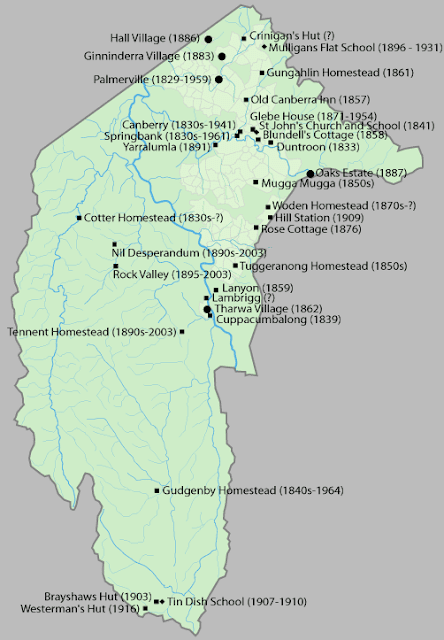
Historic Building Map
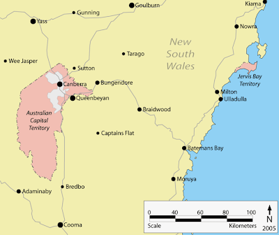
Map showing surrounding towns

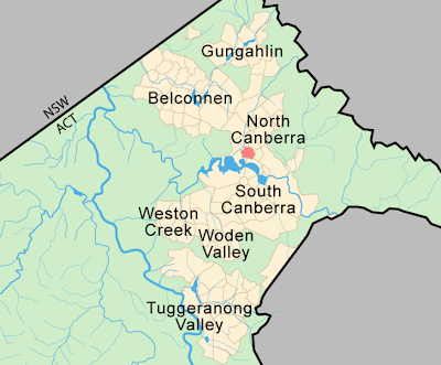
Modern Canberra's layout within the A.C.T.
ACT Town Centres map
ACT's seaport - Jervis Bay Territory
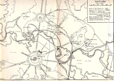
New Canberra - 1924
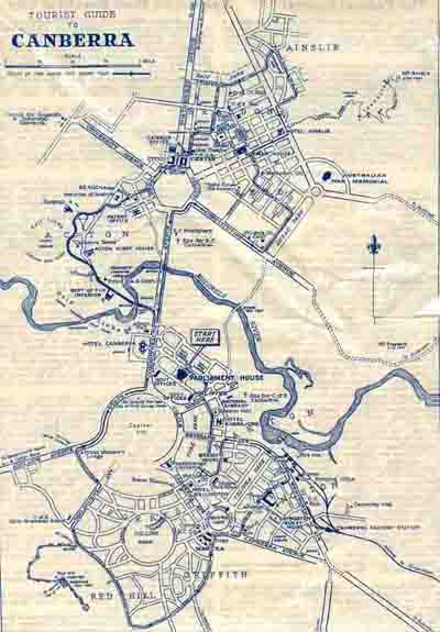
Tourist map of Canberra - 1934
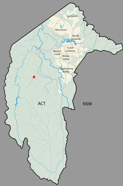
Locality Map with rivers

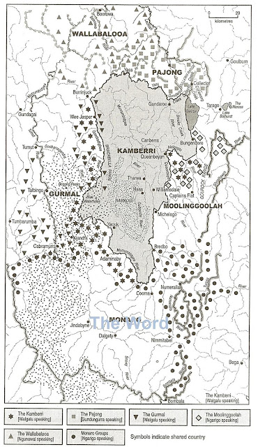
Ngambri - Claim to country map